Sea swims around Ireland, today
Each spot gets the answer that matters for it. Where there is deep water at every tide, the sea decides: how much chop the wind can raise there and whether swell gets in. Where the swim depends on how much water is over the steps, the tide decides. Either way, the water quality and any Do Not Swim notice come first.
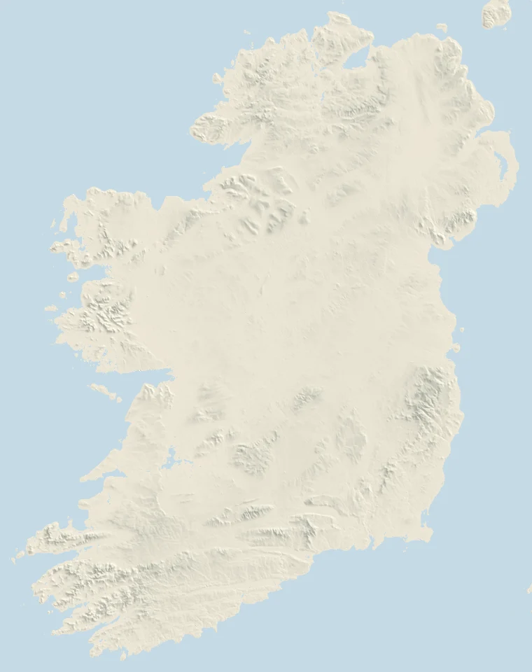
Today
- The Forty FootCounty Dublin · deep water Sea: worked out live No Do Not Swim notice · water quality Excellent (2025); last sample 12 Oct: Excellent Tide at Bray Harbour: high tide 04:00 and 16:08; low tide 09:14 and 22:12
- Vico BathsCounty Dublin · deep water Sea: worked out live Closed for repairs? Dún Laoghaire-Rathdown County Council notice, 19 May 2026 · water quality Excellent (2025); last sample 12 Oct: Excellent Tide at Bray Harbour: high tide 04:00 and 16:08; low tide 09:14 and 22:12
- The Guillamene and Newtown CoveCounty Waterford · deep water Sea: worked out live No Do Not Swim notice · water quality not classified; last sample 14 Sept: Excellent Tide at Dunmore East: high tide 09:18 and 21:35; low tide 03:08 and 15:38
- Sandycove IslandCounty Cork · deep water Sea: worked out live No Do Not Swim notice · water quality not classified; last sample 1 Sept: Excellent Tide at Kinsale: high tide 09:11 and 21:35; low tide 03:09 and 15:38
- The Point, WestportCounty Mayo · depth at the steps At the Point, high tide barely covers the foot of the steps. Water quality: on its page (Westport Quay is not an EPA bathing water) Tide at Westport Quay: high tide 09:48 and 22:42; low tide 03:37 and 16:33
Sea: our estimate of the chop and swell at each spot now, from the live forecast (how). Water: the EPA's classification and latest sample, and its notice feed, read Mon 16 Nov 09:45. Tide: the Marine Institute's predictions for each spot's station. Irish time.
Left out, for now
Left out for now, and why. Each would be built the moment its missing number is measured: one person with a tape and a known tide time at the steps, or a surveyed level, would do.
Seapoint depth spot
A depth spot: the swim depends on how much water is at the foot of the slip by the Martello tower. The 2011 OPW LiDAR survey caught the sea itself there (at about 0.6 m below OD Malin), so the ground under the water where you'd swim was never measured, and a depth would be a guess. Dublin Port's tide predictions, 6.7 km away, would do for the tide.
The Half Moon, South Wall depth spot
A depth spot (steps off the Great South Wall), with Dublin Port's gauge 3.9 km away for the tide. But the LiDAR survey has no ground level at the steps, and OpenStreetMap doesn't place them, so we can't say how deep it is at any tide.
The Bull Wall shelters depth spot
A depth spot (steps down from the North Bull Wall), 3.7 km from Dublin Port's gauge. The LiDAR shows water, not ground, at the foot of the steps, so their depth at a given tide is unmeasured.
Blackrock diving tower, Salthill depth spot
The decision here is whether there is enough water under the tower, and the Galway tide gauge is only 3.3 km away. But the LiDAR survey was flown with the tide in at the tower (it shows a flat water surface at about 1.25 m OD Malin), so the bed below the boards was never measured. A diving depth is not something to guess.
The Pollock Holes, Kilkee depth spot
Rock pools on the Duggerna reef, usable when the tide is out and cut off when the sea washes over. The tide itself is fine: the Marine Institute's Carrigaholt and Lahinch predictions either side agree within 7 minutes. What we lack is the height of the reef: the 2011 LiDAR doesn't cover it, so we can't say at what tide or swell the sea gets in.